Since 2009, I have been placing benches in the Manorville Hills County Park. The objective is to build safe rustic-style benches and place them in appropriate spaces within this primitive setting. There are no benches, bathrooms, or security at the present..
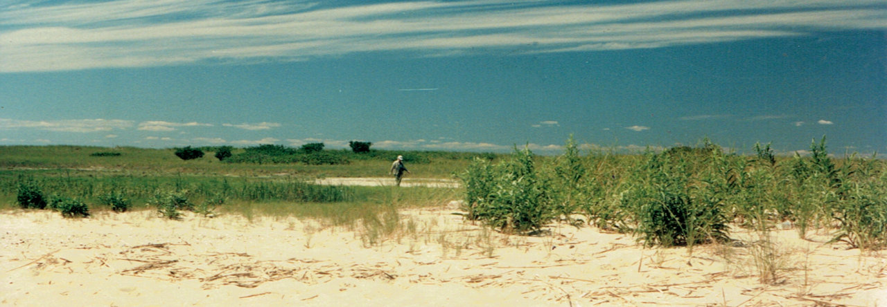
John Burnley suggested the location for another bench. Mark Harrington and I met John in the parking lot off route 111. Mark and I unloaded the bench parts after driving east on Hot Water Street. We carried a plank, two legs, shovel, hammer and nails to the location. We used emergency access route #5 and hiked about 45 minutes to the site. John knew about this because he’d already visited it. He set up a beach chair and used the bucolic scene to do some writing. It is a hill with a bald and steep slope. A bald is an open place with few pitch pines no shrub layer, and a nice smooth carpet of pine needles. It is one of the many magical places that are quiet, peaceful, and beautiful in this park. The park is located in the core area of the NYS Pine Barrens Preserve. There are no structures at all.
We selected a spot to put the bench, dug two holes, set the legs in, back filled, lined up the seat, and nailed it to the posts. I brought a map of the trails and a contour map of the area. I thought I knew where this place was. I showed John on the Eastport USGS topographic map. I concluded that the steep valley was right next to a deep kettle hole. “No” said John. He pointed to an area north of my prediction. I agreed with John because while were there because I heard Long Island Expressway passing traffic. It was farther north from Hot Water Street than I thought.
As we left, Mark tied a blue hanker chief to a tree trunk to mark the place. We will call this place Burnley Hill and Burnley Bench. Since John hikes in this park very often, he is a valuable resource for other locations.
These rustic benches are meant to allow hikers to take a break and rest. Undeveloped County Parks need help. The park does some maintenance. It is used by mountain bikers, horseback riders, and hikers. The current program is there is no accurate map and none available for first-time visitors. The more hikers, the more eyes to see illegal ATV’s, dumping, excessive erosion, vandalism, and even fire.
Leave a Reply